Animal Behavior and Photogrammetry
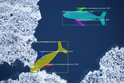
Our lab is using drone-based aerial imagery to better understand size, body condition, and behavior of marine mammals, including whales and seals.
LEARN MORE
Coastal Habitats
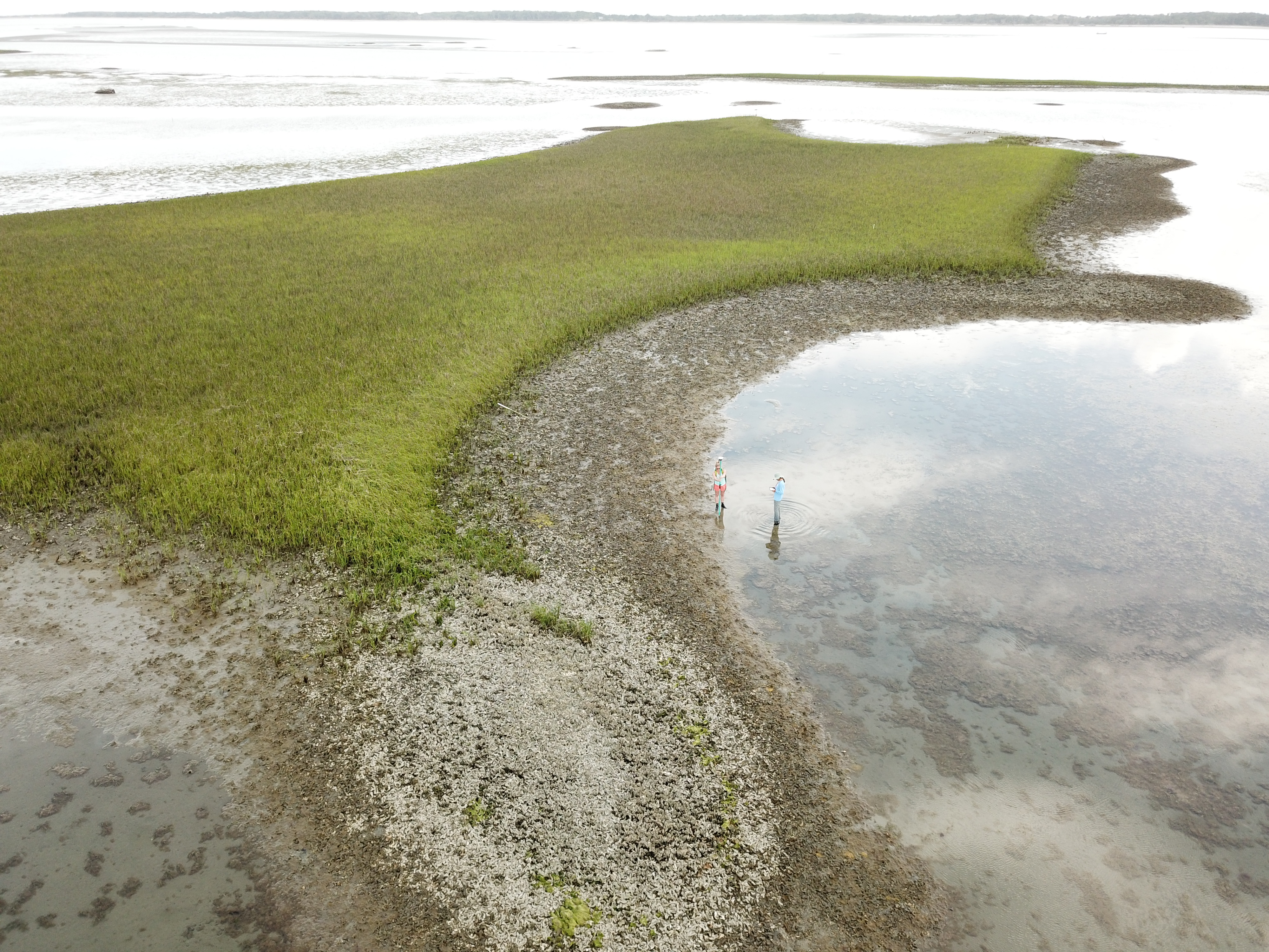
Coastal zones are often the first line of defense for cities during a natural disaster. We use UAS to map and monitor changes in barrier islands, oyster reef area, salt marsh canopy height, and mangrove habitat.
LEARN MORE OYSTER MAPPINGPopulations
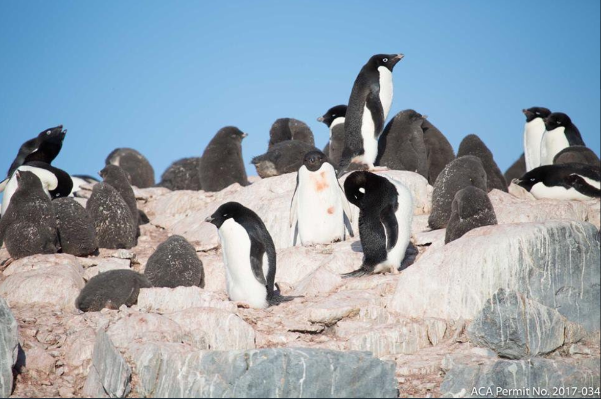
From the Western Antarctic Peninsula to Alaska’s Pribilof Islands, we use drones and other remote sensing techniques to study the density and distribution of seabird colonies, pinniped rookeries, turtles, and sharks.
LEARN MORE

Computer Vision and Deep Learning
Our researchers are exploring how convolutional neural networks (CNNs) can facilitate photogrammetry and species identification. We’re also using machine learning to effeciently analyze remote sensing datasets.
LEARN MORE