2019-2020
Developing Rapid Remote Assessments of Oyster Reef Health and Biodiversity
Current assessment methods for restoration and conservation of remaining oyster stocks are costly, time-intensive, dependent on weather conditions and sea state and destructive to existing habitat. Novel methods and the integration of technologies such as passive acoustic monitoring and aerial imagery can help produce robust, rapid, cost-effective methods to assess oyster reef ecosystem health, habitat health and biodiversity.
Learn more!
2019-2020
Deep Learning and Remote Sensing for Coastal Resilience: Rapid and Automated Coastal Monitoring to Inform Community Recovery from Storm Events
The purpose of this project is to use Hurricane Florence coastal impacts and recovery to develop a methodology for rapid and high-resolution monitoring of North Carolina’s coastline. We will do so by leveraging convolution neural networks (CNNs) to automate change detection in satellite imagery. The change detected via satellite will trigger a time-series of UAS surveys for areas that experienced substantial change.
Learn more!
2018-2019
Developing Rapid, Cost-effective Methods for Evaluating Coastal Biodiversity and Resilience (2018-2019)
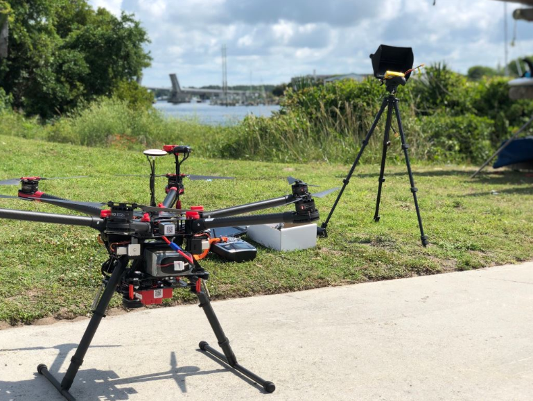
This Bass Connections project team will work with governmental and nongovernmental organizations to create helpful tools for conservation practices. Initial research will expand on ongoing work to establish the best sensors (targeted spectral bands) that are most useful for delineating shoreline and estuarine habitats in North Carolina, which include salt marsh, oyster reef and seagrass. The team will outfit small unoccupied aerial systems (or unmanned aerial systems [UAS]) with survey-grade, multispectral, and high-resolution optical sensors. Modern software packages for drone imagery processing are proving effective at creating accurate digital surface models, which when coupled with the spectral mosaics will help further delineate habitats.
Learn more!
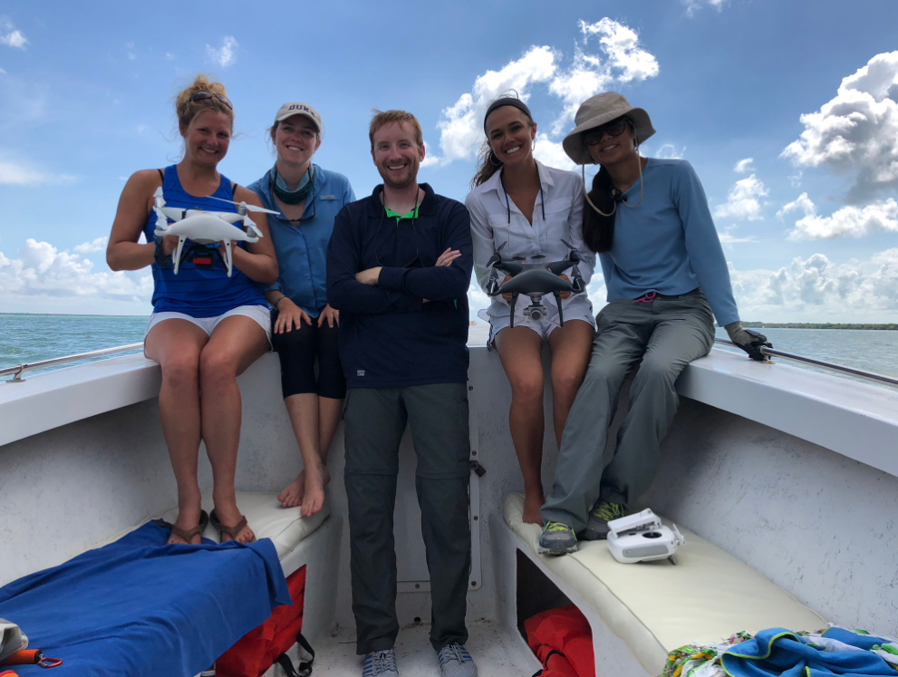
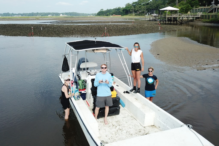
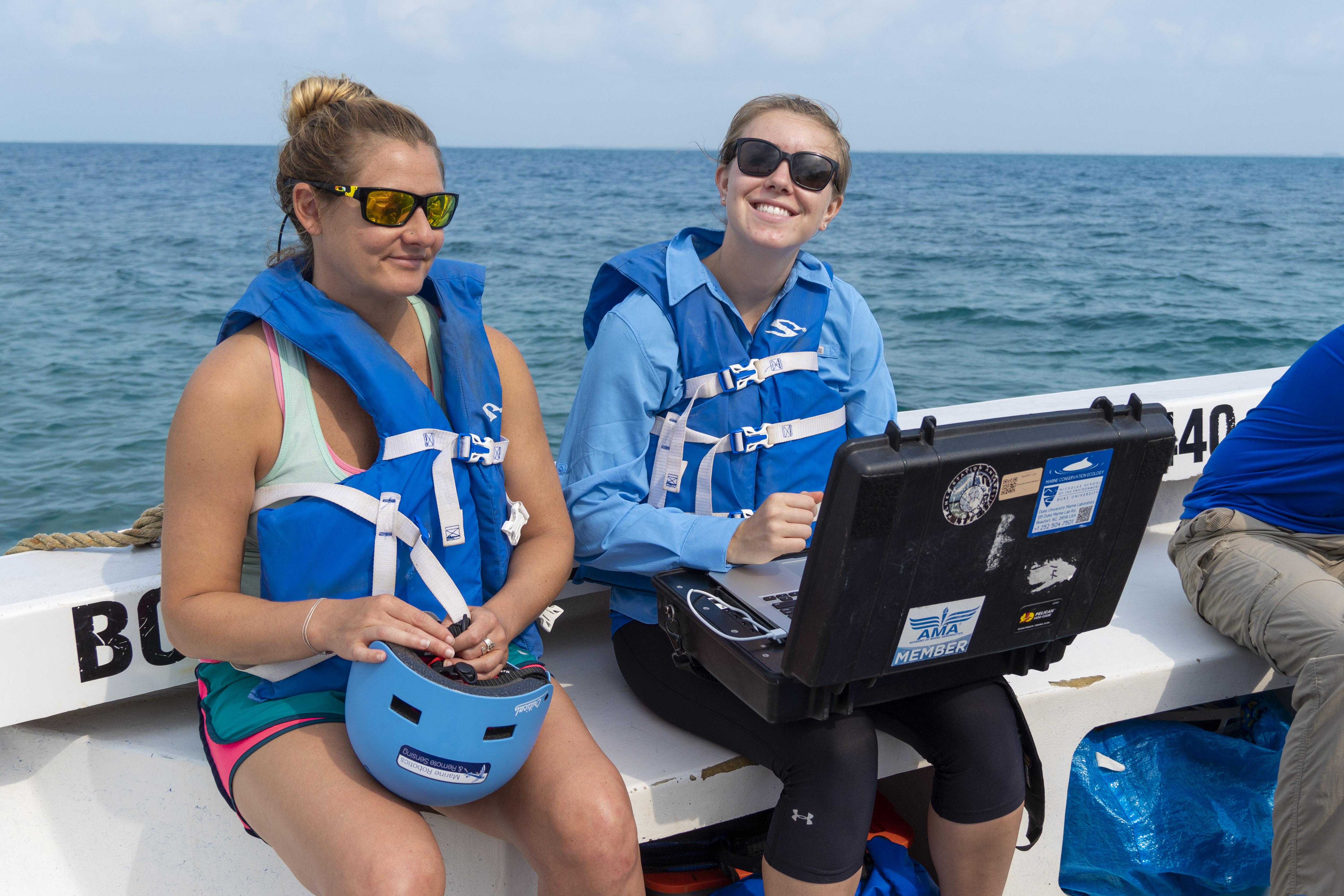
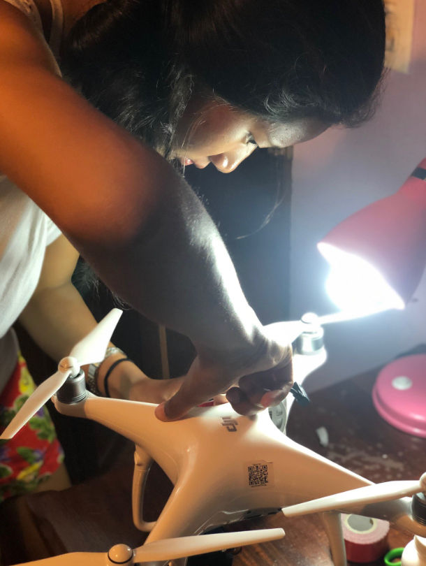
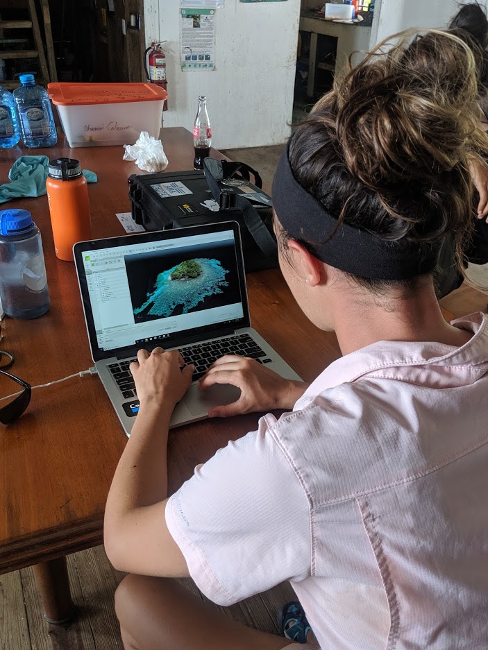
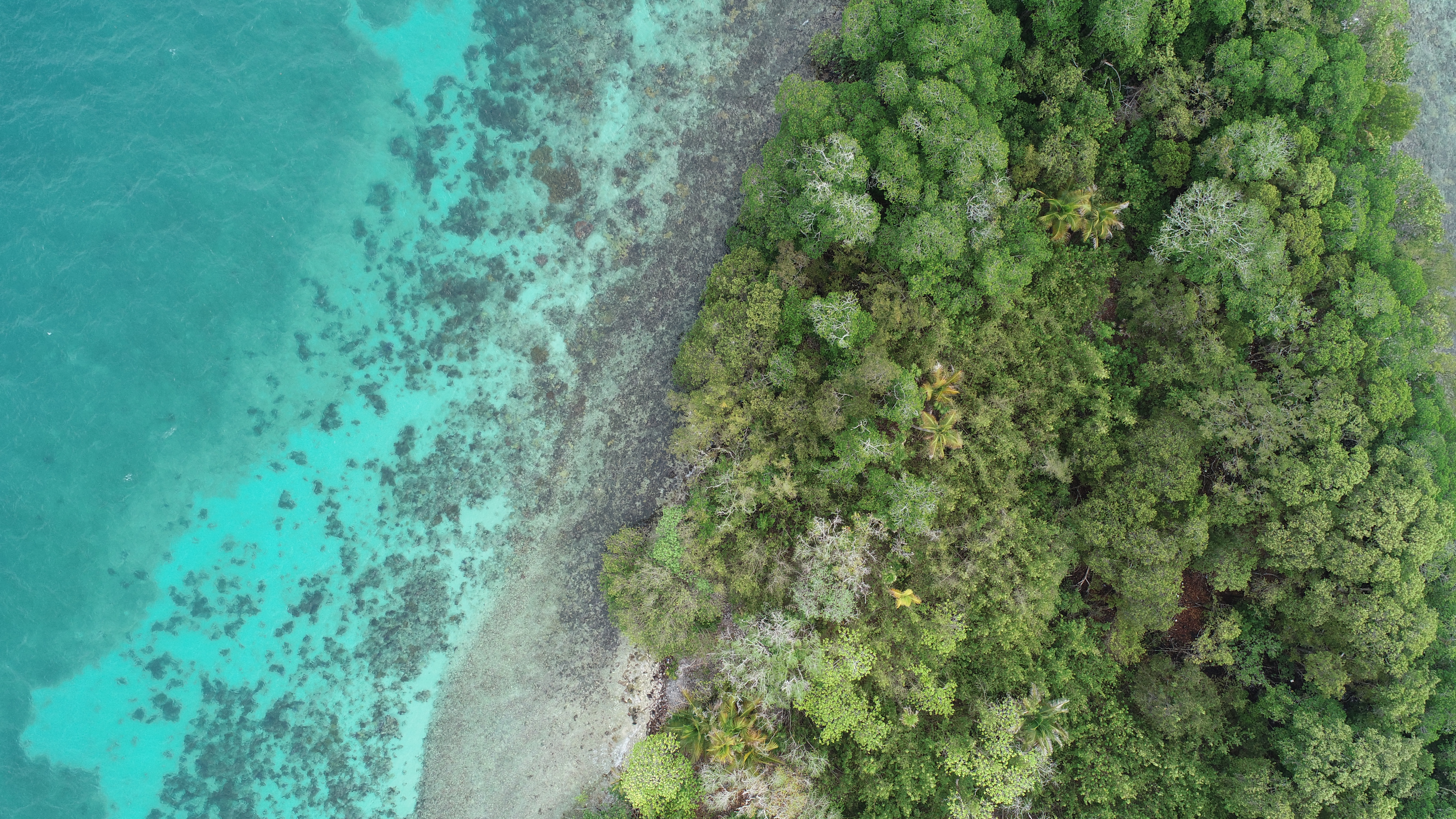
The #DukeBassinBelize Experience
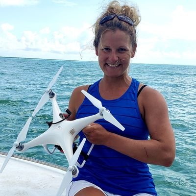
Our team is led by post-doc Dr. Justin Ridge and made up of two undergraduates (Alexandra DiGiacomo + Virginia Pan) and two masters students (Claire Atkins-Davis + Kelly Dobroski).
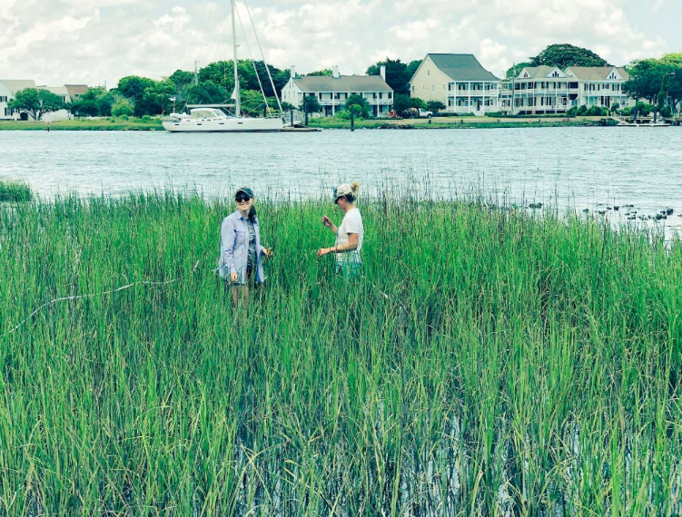
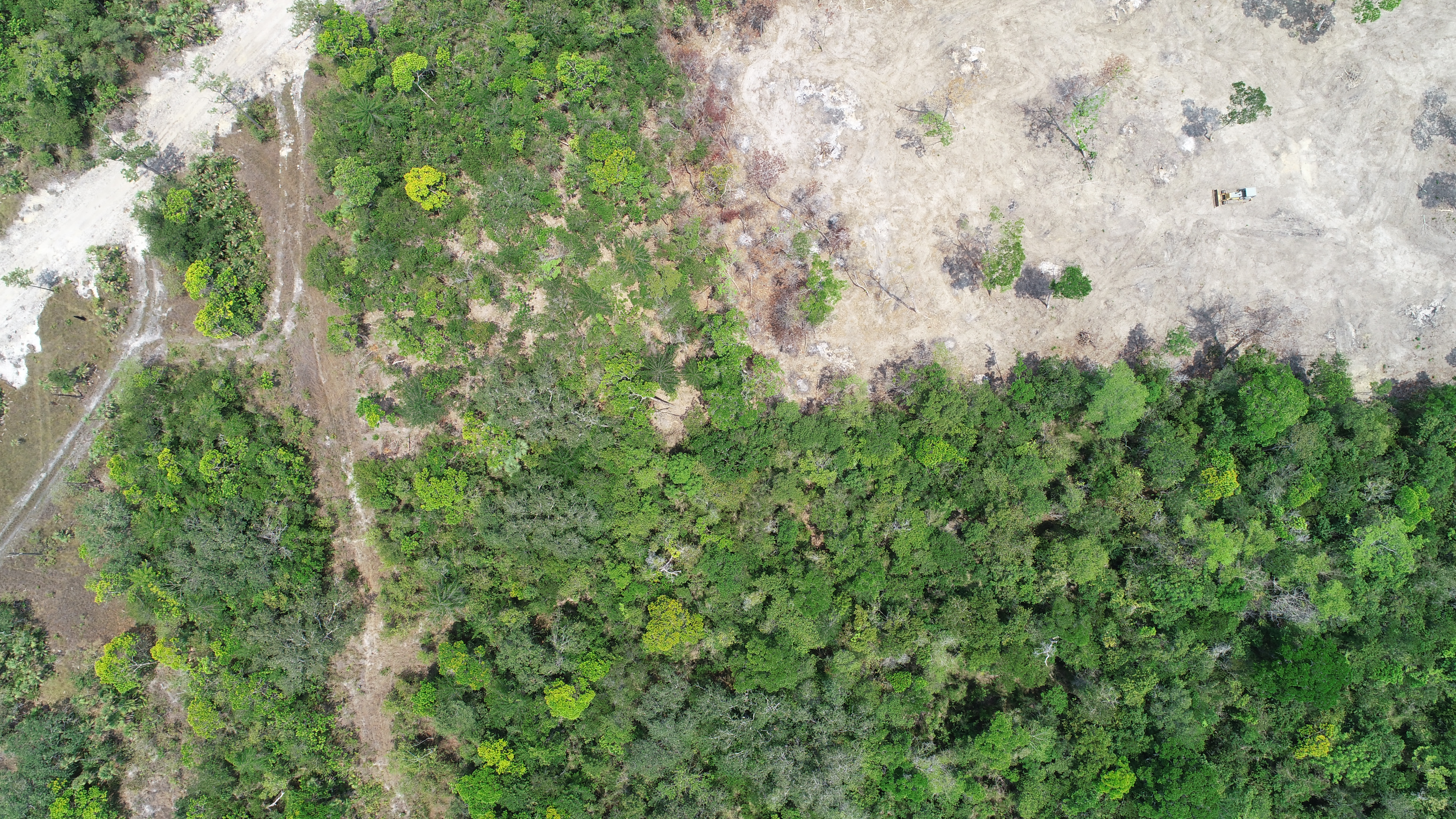
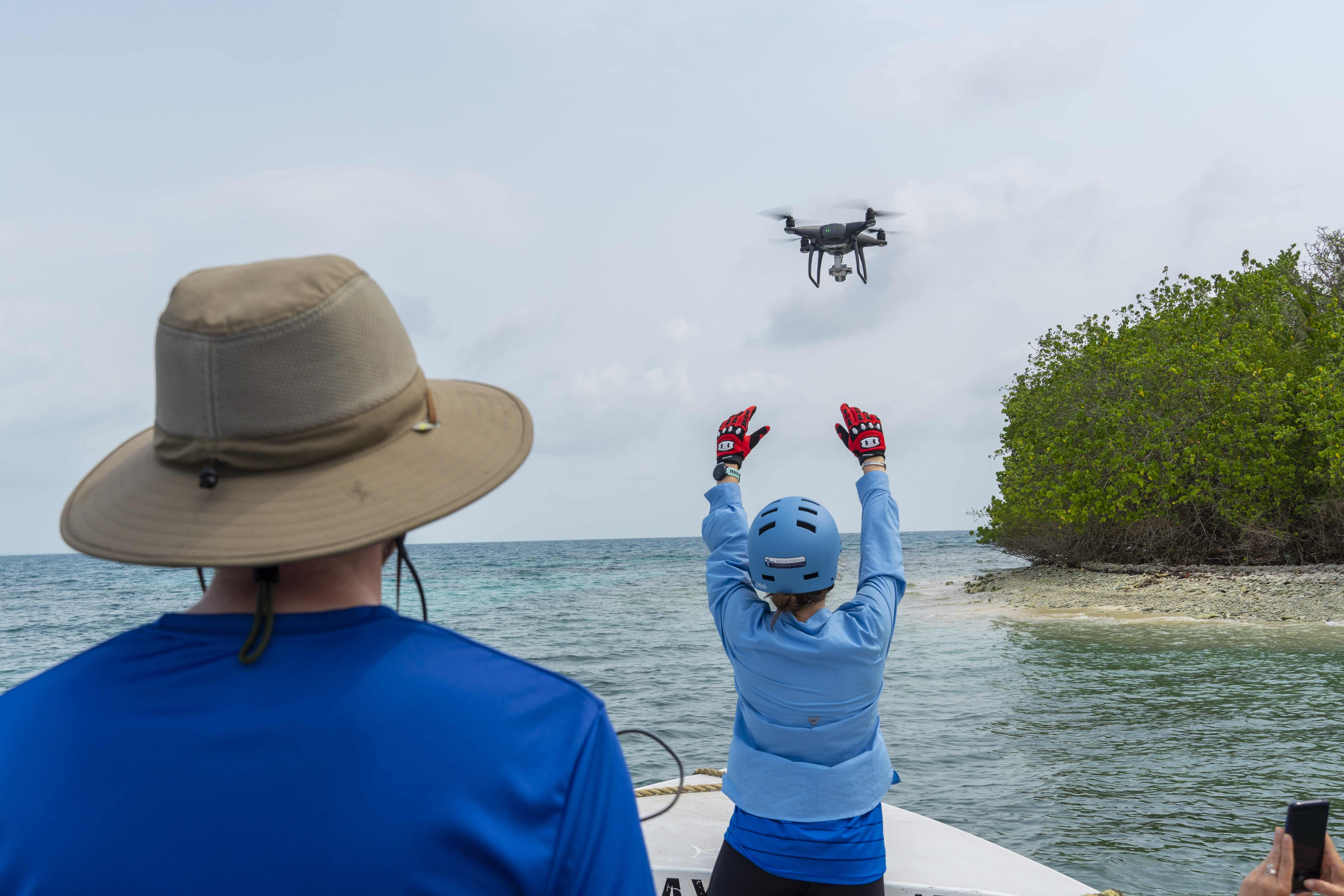
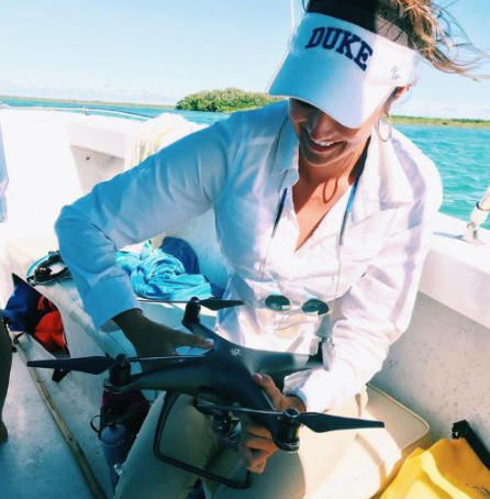
We used unoccupied aircraft systems, or drones, to conduct surveys of salt marshes and mangroves throughout the 2018-2019 academic year. We developed methods to rapidly assess the status of salt marshes based upon canopy height, vegetation health, and lant density.
In Belize, we collaborated with four organizations to conduct surveys of mangroves in locations that may be threatened by development or climate change. A status report is actively being developed for delivery to these organizations and the Belizean government.
Our team has surveyed salt marshes and mangroves from North Carolina to Belize. Check out some of our adventures below. All photos credit to the Marine Robotics and Remote Sensing Laboratory.