Dedicated workstations
The MaRRS lab maintains 5 workstation computers (8 to 32 CPU cores with Nvidia GTX, Titan, or Quadro GPUs) for photogrammetric and 3D analysis of remote sensing imagery. Workstations are preloaded with software for image analysis, geospatial analysis, and structure from motion photogrammetry, including maintained software licenses for the Pix4D suite of drone mapping and photogrammetry tools.
READ MORECloud Computing
The MaRRS lab has been awarded several grants from the Microsoft AI for the Earth program to develop new analytical approaches for high-resolution remote sensing data. Our researchers use a combination of Google Earth Engine, R, Tensorflow, Python, and Jupyter notebooks to develop and share their work.
READ MOREDEEP LEARNING
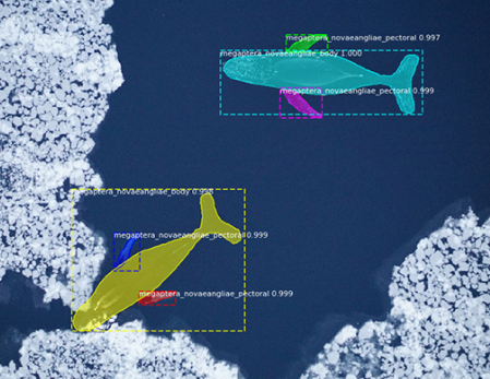
Using neural networks to detect whales & sea turtles
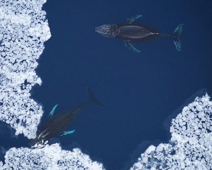
A powerful tool in the conservation space, deep learning algorithms are being used to automate object detection. We use convolutional neural networks to find whales in drone and satellite data, allowing us to scale our research up to the population level.
LEARN MOREGET THE CODE

